Lake Tahoe Area Traffic & Road Conditions
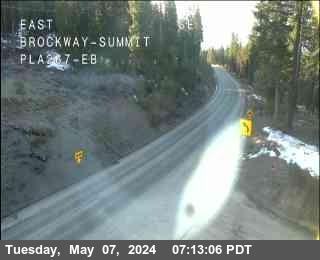
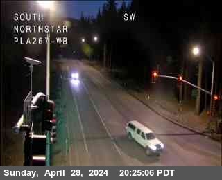
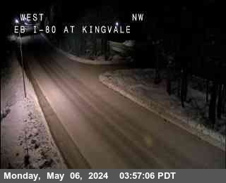
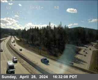
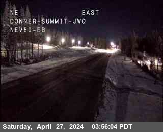
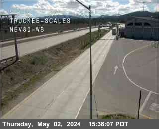
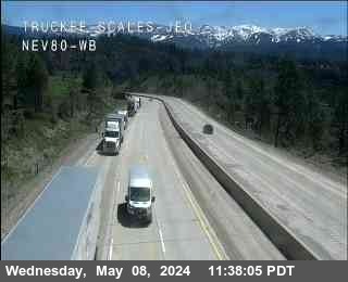
CalTrans Traffic Cameras
Data provided by: Caltrans Report broken WebCams
CHP Traffic Incidents (7)
| Route/Area | Incident |
|---|---|
Sacramento | Traffic Collision No injuryCHP ID: 240517SA0083 Southbound just North of - South Sac in District: 3 SR-99 South at Grant Line Road |
Sacramento | Assist with ConstructionCHP ID: 240516SA1089 South Sac in District: 3 I-5 North at Twin Cities Road |
Chico | Assist CalTrans with MaintenanceCHP ID: 240516CH0162 *SB SR70 @ FRB NORTH / 47-R1 43-S2* - Yuba Sutter in District: 3 SR-70 East at Feather River Blvd |
Sacramento | Closure of a RoadCHP ID: 240516SA1284 Eastbound COLLEGE OAK TO AUB BLVD - North Sac in District: 3 Madison Ave / College Oak Dr |
Sacramento | Closure of a RoadCHP ID: 240516SA1201 Northbound WATT between BODEGA and LAS PASAS - North Sac in District: 3 Watt Ave / Bodega Ct |
Sacramento | Assist with ConstructionCHP ID: 240516SA1364 Auburn CHP Office - Auburn in District: 3 9440 Indian Hill Rd |
Sacramento | Assist with ConstructionCHP ID: 240516SA0916 TRUCKEE DETAIL - North Sac in District: 3 5109 Tyler St |
CalTrans Road Conditions
Lake Tahoe/Donner Pass Weather
43
rising
Overnight Clear May 17, 20242 mph WSW
67
falling
Friday Sunny May 17, 20242 to 8 mph WSW
43
Friday Night Clear May 17, 20242 to 7 mph N
66
Saturday Sunny May 18, 20242 to 12 mph SW
40
Saturday Night Mostly Clear May 18, 20243 to 12 mph SW
59
Sunday Sunny May 19, 20243 to 12 mph SW
34
Sunday Night Mostly Clear May 19, 20243 to 12 mph NW
57
Monday Sunny May 20, 20246 to 9 mph NE
36
Monday Night Mostly Clear May 20, 20245 to 8 mph NE
61
Tuesday Sunny May 21, 20245 to 10 mph S
38
Tuesday Night Mostly Clear May 21, 20245 to 10 mph SW
60
Wednesday Sunny May 22, 20245 to 14 mph SW
36
Wednesday Night Partly Cloudy May 22, 20243 to 14 mph SW
57
Thursday Sunny May 23, 20243 to 12 mph SW
CalTrans Message Signs for - (8) - See All
Real-time highway message signs with travel times, travel, wind, fog and chain controls alerts and accident conditions.
CalTrans Lane & Road Closures on Highway -
How does freeway lane numbering work?East / West
Active
In Tahoe City Lane #1 will be closed multi-day (long term) for utility work along East / westbound Highway 28 at Dollar Dr from May 12 at 7:01PM to May 17 at 12:01PM.
From: Dollar Dr to Lakewood Lane in Tahoe City
East / West
Active
In Tahoe City Lane #1 will be closed multi-day (long term) for utility work along East / westbound Highway 28 at Rocky Ridge Rd from May 12 at 7:01PM to May 17 at 12:01PM.
From: Rocky Ridge Rd to County Road W & Jackpine St in Tahoe City
East
Active
In Truckee Lane #2 will be closed multi-day (long term) for slab replacement along Eastbound I-80 at from May 12 at 7:01PM to May 17 at 11:59AM.
From: to Soda Springs in Truckee Work Area starts at PM 0.1
East
Active
In Soda Springs Lane #2, and the right shoulder will be closed multi-day (long term) for grinding and paving along Eastbound I-80 at from May 12 at 7:01PM to May 17 at 11:59AM.
From: in Soda Springs to Soda Springs in Truckee Work Area starts at PM 7.0
West
Active
In Norden Lane #2 will be closed multi-day (long term) for grinding and paving along Westbound I-80 at from May 12 at 7:01PM to May 17 at 11:59AM.
From: in Norden to in Truckee Work Area starts at PM 4.0
West
Active
In Truckee All lanes will be closed multi-day (long term) for grinding operation along Westbound I-80 at Route 80 from May 13 at 6:59PM to May 17 at 11:59AM.
From: Route 80 to South Yuba River in Truckee
East
Active
In Norden All lanes will be closed multi-day (long term) for grinding and paving along Eastbound I-80 at Route 80 from May 13 at 6:59PM to May 17 at 11:59AM.
From: Route 80 to Donner Lake in Norden
West
Active
In Soda Springs Lane #2 will be closed multi-day (long term) for slab replacement along Westbound I-80 at Troy from May 13 at 7:01PM to May 17 at 6:59PM.
From: Troy to Hampshire Rocks in Soda Springs
East
Active
In Truckee All lanes will be closed multi-day (long term) for grinding and paving along Eastbound I-80 at Donner Lake from May 14 at 6:59PM to May 17 at 11:59AM.
From: Donner Lake to Route 80 in Truckee
West
Active
In Verdi Lane #2, and the right shoulder will be closed overnight for grinding and paving along Westbound I-80 at Nevada State Line from May 16 at 7:01PM to May 17 at 5:59AM.
From: Nevada State Line in Verdi to Floriston in Floriston
West
Active
In Verdi All lanes will be closed overnight for grinding and paving along Westbound I-80 at Nevada State Line from May 16 at 7:01PM to May 17 at 5:59AM.
From: Nevada State Line in Verdi to Floriston in Floriston
East
Active
In West Sacramento Lanes #1, #2, #3 will be closed overnight for highway construction along Eastbound US-50 at Rte 80 from May 16 at 8:01PM to May 17 at 4:59AM.
From: Rte 80 to Jefferson in West Sacramento
West
Active
In West Sacramento Lanes #1, #2, #3 will be closed overnight for highway construction along Westbound US-50 at Jefferson from May 16 at 8:01PM to May 17 at 4:59AM.
From: Jefferson to Rte 80 in West Sacramento
East
Active
In Gold Run The right shoulder will be closed overnight for utility work along Eastbound I-80 at Route 80 from May 16 at 8:01PM to May 17 at 4:30AM.
From: Route 80 to Gold Run Rest Area in Gold Run
East
Active
In Gold Run The right shoulder will be closed overnight for utility work along Eastbound I-80 at Gold Run Rest Area from May 16 at 8:01PM to May 17 at 4:30AM.
From: Gold Run Rest Area to Sawmill in Gold Run
East
Active
In West Sacramento All lanes will be closed overnight for highway construction along Eastbound US-50 at Route 50 from May 16 at 9:01PM to May 17 at 4:59AM.
From: Route 50 to Jefferson Blvd in West Sacramento
East
Active
In Davis Lanes #1, #2, #3 will be closed overnight for highway construction along Eastbound I-80 at Mace Blvd from May 16 at 9:01PM to May 17 at 4:59AM.
From: Mace Blvd in Davis to Enterprise Blvd in West Sacramento
East
Active
In West Sacramento Lanes #1, #2, #3 will be closed overnight for highway construction along Eastbound I-80 at Enterprise Blvd from May 16 at 9:01PM to May 17 at 4:59AM.
From: Enterprise Blvd to Rte 80/50 in West Sacramento
East
Active
In West Sacramento Lanes #1, #2, #3 will be closed overnight for highway construction along Eastbound I-80 at Rte 80/50 from May 16 at 9:01PM to May 17 at 4:59AM.
From: Rte 80/50 to Rte 80/50 in West Sacramento
N/A
Active
In West Sacramento Lanes #1, #2 will be closed overnight for highway construction along N/abound I-80 at Reed Ave from May 16 at 9:01PM to May 17 at 4:59AM.
From: Reed Ave to Route 80 in West Sacramento
N/A
Active
In West Sacramento Lanes #2, #1 will be closed overnight for highway construction along N/abound I-80 at West Capitol Ave from May 16 at 9:01PM to May 17 at 4:59AM.
From: West Capitol Ave to Route 80 in West Sacramento
East / West
Active
In Tahoe City Lane #1, and the right shoulder will be closed overnight for utility work along East / westbound Highway 28 at Pvt. Dr - Rt from May 16 at 11:59PM to May 17 at 5:01AM.
From: Pvt. Dr - Rt to Lardin Way in Tahoe City
East
Active
